Fall Foliage Road Trips: Pair Scenic Drives With Short Hikes
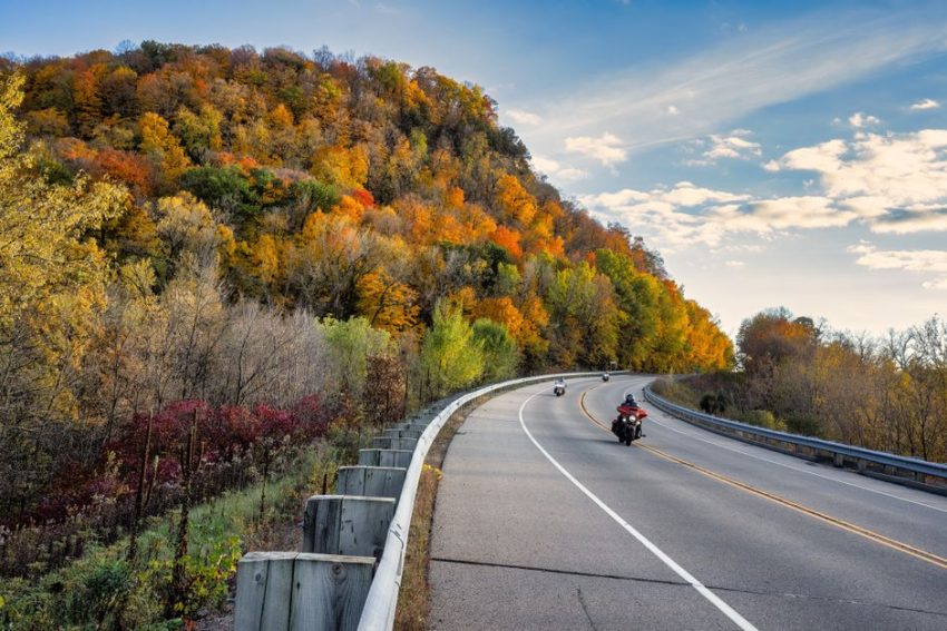
A fall foliage road trip works best when the drive and the hike share the same pace. Choose a scenic road with one or two short trails, and you get changing views without spending the whole day behind the wheel.
Why pair a scenic drive with a short hike?
The drive gives you range
Autumn color rarely appears at one exact location. It moves downhill and south as temperatures fall, so a scenic drive lets you follow the strongest foliage instead of waiting for one overlook to look perfect. A route also gives you variety: river valleys, hardwood slopes, covered bridges, farms, and higher ridges can all appear within a few hours.
The hike gives you depth
A short hike changes the experience from viewing leaves through glass to standing inside the forest. A trail of one to three miles can lead to a waterfall, a rock ledge, a lake, or a grove where the color looks richer than it did from the road. The goal is not to collect difficult summits. The goal is to add a close-up experience without losing the daylight needed for the return drive.
The best pairing uses a drive of two to four hours and one main hike lasting 45 to 90 minutes. That leaves time for parking, photographs, food, fuel, and an unexpected slowdown. A route with six planned stops usually creates stress; a route with three strong stops gives you room to react to weather and traffic. For a first trip, choose one scenic road, one signature trail, and one backup stop near the end of the route.
Which scenic drives pair best with short hikes?
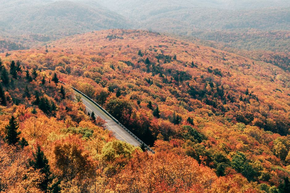
The strongest choices below combine a clearly marked scenic road with a short trail that does not require technical gear. Distances refer to the hike itself, not the full walking distance from a distant overflow lot.
| Scenic drive | Road length | Short hike | Hike distance | Typical peak window |
|---|---|---|---|---|
| Kancamagus Highway, New Hampshire | 34.5 miles | Sabbaday Falls | 0.6 mile round trip | Late September to mid-October |
| Skyline Drive, Virginia | 105 miles | Stony Man Trail | 1.6 miles round trip | Late October to early November |
| Blue Ridge Parkway near Asheville | Flexible section | Craggy Pinnacle Trail | 1.4 miles round trip | Mid-October to early November |
| Mohawk Trail, Massachusetts | 69 miles | Whitcomb Summit viewpoint walk | About 1 mile | Early to mid-October |
Best overall route
For a first fall foliage road trip, the Kancamagus Highway is the clearest choice. Its 56-mile route crosses the White Mountain National Forest and includes waterfalls, pullouts, and several short walks. It works well for travelers who want a full day without committing to a long hike.
Best route for a longer weekend
Skyline Drive wins when you have two or three days. Shenandoah National Park gives you frequent overlooks, several nearby trailheads, and towns at both ends for lodging. The road has a lower average pace than a highway, so plan a full day for a section rather than assuming you can cover 105 miles quickly.
How much driving belongs in one foliage day?
The two-hour rule
Keep the first driving block under two hours. That gets you to the first trail before midday and protects the best light for the walk. A route that begins with four hours of driving often turns the hike into a rushed photo stop.
The clear verdict
Plan 80 to 140 road miles for a full day, not 250. Scenic roads slow you down with hairpin turns, buses, leaf peepers, and pullouts. The best itinerary has one main hike, two short viewpoints, and a firm turnaround time. If the route contains a toll road, park entrance, or timed shuttle, add that delay before setting the day’s mileage.
Use a map to measure driving time between trailheads, then add 25 percent. That extra time covers a crowded parking area, a closed overlook, a slow cyclist, or ten minutes spent watching a hawk over the valley. The winner is not the route with the most pins. It is the route that still feels calm when the sun drops behind the ridge.
How do you plan around peak color instead of guessing?
Read the landscape, not only the calendar
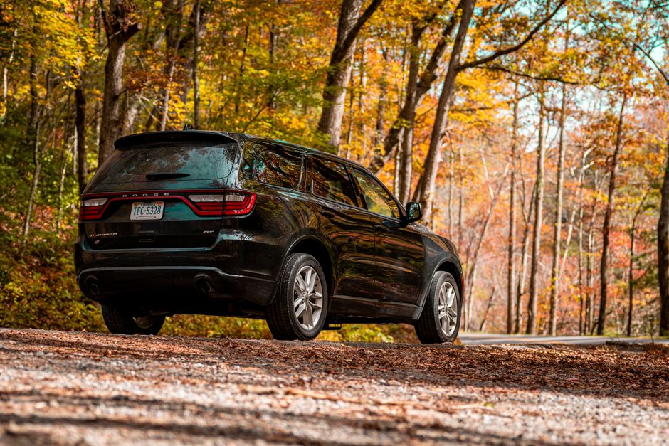
Peak foliage dates shift with elevation, latitude, rainfall, and warm autumn nights. A calendar prediction for a whole state cannot tell you how a particular mountain road will look. Higher elevations usually change first, followed by valleys and lower farmland. In northern New England, high ridges can turn in late September while lower roads peak in early or mid-October. In Virginia and North Carolina, strong color often arrives later, from mid-October into early November.
Build the trip around a corridor rather than a single town. If a high pass has already lost its leaves, drive toward a lower valley. If the mountains remain green, use a river route with farm fields and maples at lower elevations. State tourism foliage reports, recent webcam images, park social posts, and local weather forecasts provide better signals than a fixed date selected months earlier.
Use a three-stop scouting plan
Choose one high-elevation stop, one mid-elevation trail, and one low-elevation backup. This spreads your risk. A cold snap may strip the ridge while leaving the valley bright; heavy rain may muddy a waterfall trail but leave a paved overlook easy to visit. Check the report again 48 hours before departure, then check road closures on the morning of the trip.
Do not chase a map pin after dark. A late-season route can look appealing online but require narrow roads, limited cell service, or a long return through active wildlife areas. The practical choice is the route with a good backup within 30 minutes, not the route with the most famous photograph.
What gear actually earns space in the car?
Pack for an early sunset, not an imagined expedition. A short trail still becomes a safety problem when rain, fog, or a parking delay pushes the return into darkness.
Small items with a clear job
A satellite messenger provides messaging and emergency communication outside normal cell coverage; it makes sense for remote park roads, especially when traveling alone. A compact rechargeable headlamp belongs in the daypack even when the plan ends before sunset. A one-liter wide-mouth water bottle gives you a simple hydration target without relying on a roadside shop.
What not to overpack
A daypack of around 20 liters carries enough for water, a rain shell, food, a small first-aid kit, and spare gloves. A larger 35-liter pack adds weight without improving a paved overlook day. For footwear, choose a shoe with a firm sole and real tread rather than a smooth casual sneaker. You do not need climbing equipment for Sabbaday Falls or Craggy Pinnacle, but you do need traction on wet leaves and confidence on uneven steps.
Carry a rain layer, warm hat, thin gloves, food, water, a paper route backup, and a small light. Keep the pack light enough that you will actually take it on every stop. A satellite messenger is unnecessary on a busy, well-covered park loop; the headlamp becomes useful on any route where a delayed start could outlast daylight. Gear should match the road’s remoteness, not the drama of the photograph.
Questions that settle the route before departure
What is the best short hike for limited mobility?
Choose an accessible viewpoint, waterfall boardwalk, or paved overlook instead of forcing a trail with roots and stairs. Sabbaday Falls includes a short walk, but terrain conditions can change after rain. Skyline Drive has many overlooks close to parking, so it offers more flexibility than a route built around one summit.
What should happen if the weather turns?
Drop the exposed ridge first. Low clouds can erase the view while leaving a valley road, covered bridge, museum, or riverside path enjoyable. Keep one low-elevation backup within 30 minutes of the main route and check wind, rain, and road conditions before leaving town.
Is a fall foliage road trip worth doing without peak color?
Yes, if the route has more than leaves. Waterfalls, rock formations, farms, historic towns, and changing light can carry the day after a storm or early frost. The strongest plan treats peak color as a bonus and chooses a drive with several kinds of scenery.
When planning, reserve lodging near the route rather than beside the single most famous overlook. Start early, keep the hike short enough to enjoy, and leave one open block for the stop you did not expect to find.